
 Baku 22° C
Iranian Navy outlines new control boundaries in Strait of Hormuz
Region
- 04 May, 2026
- 14:08
Add Report.az to preferred Google sources
Stay up to date with the top news!
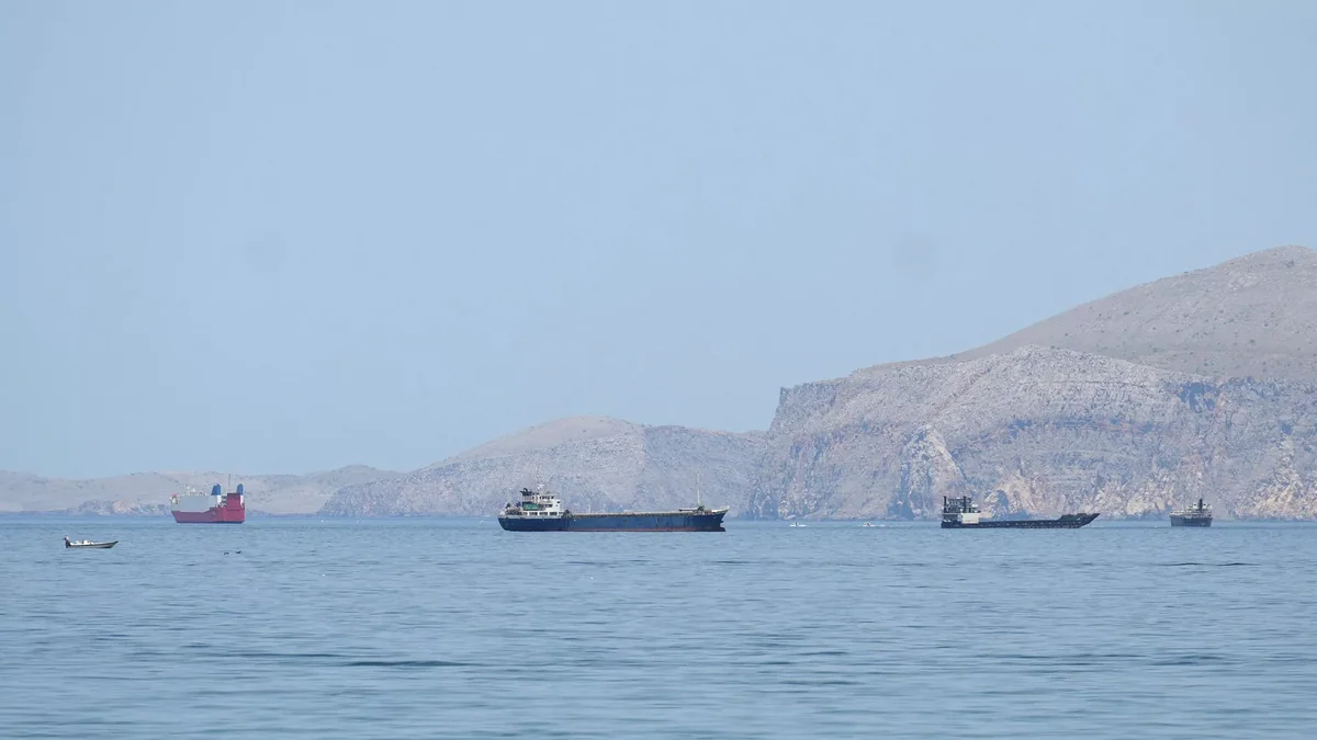
Iran"s military has outlined a control zone in the Strait of Hormuz, according to a map released by the naval forces of Iran"s Islamic Revolutionary Guard Corps (IRGC).
Report informs via Tasnim that the map reflects the "new boundaries of control and command of Iran"s naval forces in the Strait of Hormuz."
To the west of the strait, the zone is bounded by a straight line extending from the western tip of Iran"s Qeshm Island to a point east of the city of Umm Al Quwain in the UAE. To the east of the Strait of Hormuz, the zone is bounded by a straight line extending from the settlement of Kuh Mobarak in Iran to a point south of the Emirati city of Fujairah.
Author

İran Hörmüz boğazında yeni nəzarət sərhədlərini müəyyənləşdirib
ВМС Ирана обозначили новые границы контроля в Ормузском проливе


Latest News
01:40
Photo
Authorities deny alleged hijab ban in Azerbaijani medical facilities
Domestic policy
00:01
23 years since Ilham Aliyev was first elected President of Azerbaijan
Domestic policy
23:47
Slovakia will not join new European loan for Ukraine
Other countries
23:30
Gold prices fall sharply as stronger US inflation boosts dollar
Finance
22:50
Photo
Dinner hosted on behalf of President Ilham Aliyev in honor of participants of 7th CICA Summit
Foreign policy
22:38
President Ilham Aliyev met with President of Tajikistan
Foreign policy
22:36
Two ships sink near Strait of Hormuz after projectile strikes
Other countries
22:08
Photo
President Ilham Aliyev met with President of Uzbekistan - UPDATED
Foreign policy
21:56
Davr Bank renamed ABB Davr Bank as management is restructured
Finance