EPF presents interactive map reflecting environmental damage caused by Armenia’s mining industry
- 27 February, 2025
- 11:57
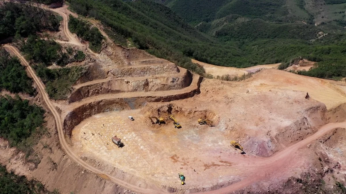
The Environmental Protection First (EPF) Coalition has introduced an interactive digital map to the public, highlighting the mining enterprises in Armenia that are polluting the environment of the South Caucasus and the Caspian Sea.
According to Report, the digital map, which serves as an information bank, has been prepared in Azerbaijani, English, and Armenian.
Mugabil Bayramov, chairman of the Azerbaijani Cartographers Public Union, a member of the coalition that developed the digital map, stated that a professional team had been actively working on this unique resource for over a year.
He also noted that in 2024, the Environmental Protection First Coalition created a map titled Mineral Raw Material Resources of the Republic of Armenia in Azerbaijani, English, and Armenian. The newly developed digital map, based on Geographic Information Systems (GIS), was built upon that previous work but has been significantly enriched with new data.
The interactive map provides information on the types of minerals, their locations, the main polluting enterprises, and details on which substances are contaminating which rivers.
“Armenian state institutions prefer to remain silent on this issue, but we are preparing the maps in Armenian as well, so the local public can become aware of the environmental crimes being concealed from them,” said Bayramov.
The cartographic work is compiled using the modern WGS-84 coordinate system, allowing users to click on objects for detailed information. The map includes both topographic and satellite imagery, and data on industrial facilities has been obtained through the analysis of satellite images. It also features information on raw material processing plants, the companies operating them, their environmental impact, and accompanying photos and videos.
Author