
 Baku 22° C
Satellite imagery of Zangilan
- 20 October, 2020
- 14:53
Stay up to date with the top news!
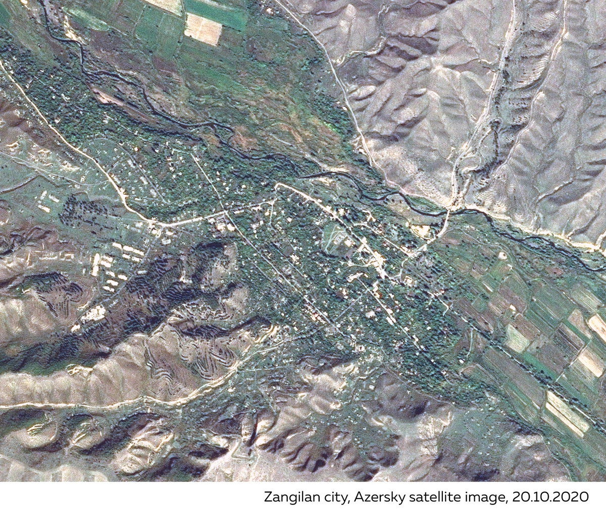
Azercosmos has shared a satellite view of the liberated Zangilan city.
Report informs, the image was posted on the satellite operator's Twitter page.
"Today, the Azerbaijani Army has liberated the city of Zangilan and six villages of the district, several villages of Fuzuli, Jabrayil, and Khojavend regions from Armenian occupation. We present the image acquired via Azersky after the liberation of Zangilan city."
Today, the Azerbaijani Army has liberated #Zangilan city & 6 villages of the district, a number of villages of Fuzuli, Jabrayil and Khojavend regions from Armenian occupation.
— Azercosmos (@Azercosmos1) October 20, 2020
We present the image acquired via #Azersky after the liberation of Zangilan city.#KarabakhisAzerbaijan pic.twitter.com/zYCVTH4y2n
Author