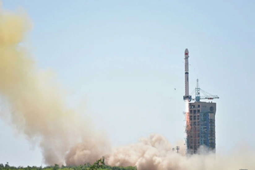
China: Long March 4B lofts latest Ziyuan-3 satellite
- 25 July, 2020
- 08:23

The third satellite in the Ziyuan-3 series was orbited by China on Friday at 03:17 UTC using the Long March 4B ‘Chang Zheng-4B’ (Y45) rocket from the Taiyuan Satellite Launch Center’s LC9 launch platform. The new high-resolution remote sensing geological mapping satellite will be used for civil purposes. On its ride to orbit, the new satellite was accompanied by a small Chinese experimental LEO comsat.
The new satellite is the third of a series of four high-resolution civilian remote sensing satellites, grown from a project that was initiated in March 2008.
The new satellite carries three high-resolution panchromatic cameras and an infrared multispectral scanner (IRMSS). The cameras are positioned at the front-facing, ground-facing, and rear-facing positions.
Two cameras (front-facing and rear-facing) have a spectral resolution of 2.7m and 52.3km ground swath while the ground-facing camera has a spectral resolution of 2.1m and 51.1km ground swath. The IRMSS has a spectral resolution of 6.0m and 51.0km ground swath.
The satellite is equipped with two 3 meters solar arrays for power generation and will orbit a 505.984 km sun-synchronous solar orbit with a 97.421-degree inclination. This orbit will have a re-visit cycle of 5 days.
The operational period will be four years with a possible life extension for five years.
The new satellite will conduct surveys on land resources, help with natural disaster-reduction and prevention and lend assistance to farming, water conservation, urban planning, and other sectors, surveying the area between 84 degrees north and 84 degrees south latitude.
