Earthquake maps under development for Lower Kura Depression
Education and science
- 28 January, 2025
- 09:42
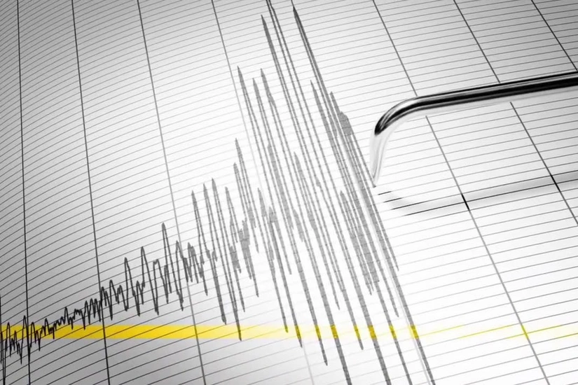
Initial maps are being prepared to investigate the link between earthquake sources and tectonic faults in the Lower Kura Depression area (Caspian Sea and coastal regions), as was reflected in the scientific and organizational activities report of the Republican Seismological Survey Center (RSSC) for 2024, Report informs.
Gurban Yetirmishli, the RSSC's Director General and corresponding member of Azerbaijan National Academy of Sciences (ANAS), noted that new approaches have been developed in collaboration with some foreign universities to calculate seismic hazards in Azerbaijan:
"Additionally, the 'Seismic Hazard Map of Azerbaijan' was presented and discussed."
Author

Latest News
16:26
Azerbaijan budget gains $119.4M manats from bank deposits
Finance16:17
Azerbaijan sets up Organizing Committee for 2027 FIFA U-20 World Cup
Football16:15
Photo
BP and ADA University celebrate successful completion of major social initiative
Energy16:14
Gold imports in Azerbaijan reach historic high
Business16:04
President of Azerbaijan puts forward initiative to declare amnesty on occasion of Year of Constitution and Sovereignty
Domestic policy16:01
NATO continues selection of new Special Representative for Caucasus and Central Asia
Region15:46
President approves Supervisory Board of Azerbaijan Business Development Fund
Business15:40
Photo
22 more families resettled in Horovlu village of Jabrayil district receive house keys - UPDATED
Domestic policy15:27