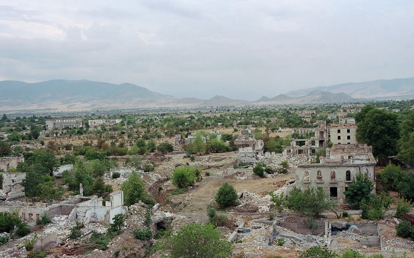
Significant changes took place in the land cover of the Aghdam District in 2016-2021, Report informs citing an article, entitled "Mapping of LC/LU changes inside Aghdam District of the Karabakh economics region applying object-based satellite image analysis mapping based on directional analysis”.
It is noted that the vegetation cover has significantly decreased (10.2%), the area unsuitable for agriculture has increased (11.8%). Based on the nearest neighboring classification method (NNC), a number of negative changes in land use were identified: forest and pasture lands decreased by 9.8%, degraded lands increased by 35%, and infertile lands by 4.4%.
The author of the article, Head of the Caspian Hydrometeorology Department of the Hasan Aliyev Institute of Geography, Doctor of Geographical Sciences, Said Safarov, says that before the government decides to start restoration and project work, a comprehensive analysis and mapping of the current situation in the liberated areas should become the most urgent task of geographers, ecologists, and remote sensing specialists.


 https://static.report.az/photo/2863c5ea-7581-3b42-a0ec-a5a0a6e7e648.jpg

